The tunnels known only as "The Quarry" have long been though to be one of the better sites in the Twin Cities, their extent and maze-like qualities second only to a certain other tunnel system.
First, some History (names removed to protect the location):
This extensive sandstone extraction site was opened in 1891 by the
<censored> company of St. Paul, Minnesota. The company operated for
11 years as an underground sand mine, digging soft St. Peter sandstone
from beneath what was then productive farmland and rail yards of the <censored>
railway. Sand from this facility was shipped throughout the US, and used
in such products as cement for the Hoover dam, US capitol buildings, and
a variety of large skyscrapers in Detroit and Chicago. In 1902 the company
was purchased by <censored>, a St. Paul financier and developer responsible
for many famous landmarks in the Twin Cities. The mine continued to operate
below what was by then becoming a high-class housing development for wealthy
Twin Cities residents. Other sand mines or "Caves" in the cities include
the Lillydale caves, the Ford sandstone mines, and the UNIVAC caves, as
well as a number of smaller sand mines-turned storage caves. None are as
extensive as those at the Quarry. A great deal of misinformation and a
variety of fake names have previously been used to shroud The Quarry's
existence, but I believe that it can be displayed and described without
revealing too much to the general public or snooping property owners.
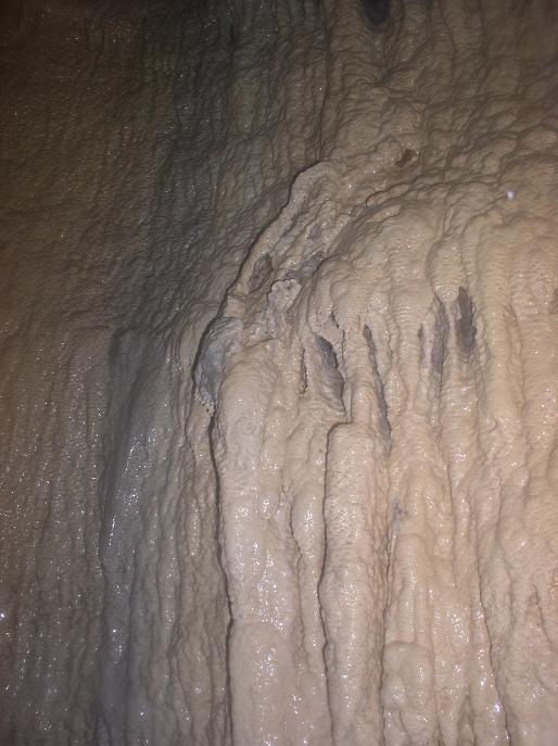
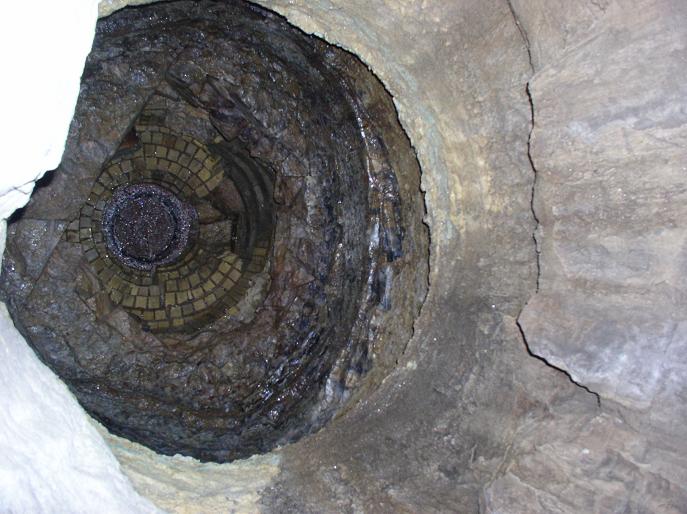
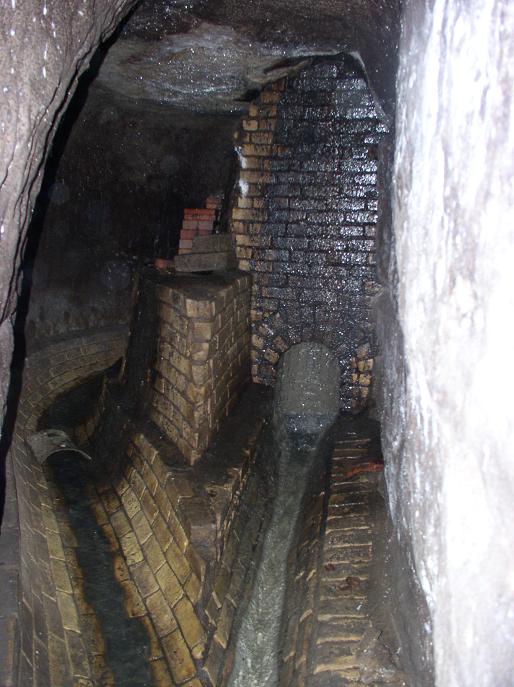
The Quarry sand mines eventually grew large enough to require their own system of drains and sewer tunnels, dug below the main workings and leading to an outfall near <censored>. These sewers resemble the St. Paul systems dug in the late 1800s and early 1900s, with typical sandstone and limestone walls, brick inverts (floors), and dropshafts connecting to the mine levels and the surface. All quarry tunnels were sloped to allow water runoff to reach the sewer drains. Lately a few of the drains have been upgraded and re-lined with concrete to prevent collapses. In the 1930s the <censored> company dug a number of utility tunnels through the harder Jordan sandstone above the mines, connecting various office and processing buildings to the city power and water grids. These tunnels are not as extensive as the drains, as Jordan sandstone is harder to excavate and takes longer to tunnel through. Despite this difficulty, the utility tunnels were enlarged in the 1950s to serve as fallout shelters for company personell and connect to additional buildings, including company president <censored>'s home on nearby <censored> ave.
In the early 1900s, the Minneapolis Street Railway company expanded their trackage to the Quarry area to serve the growing housing developments there. The company was later consolidated with the St Paul Street Railway to become the Twin Cities Rapid Transit co. The TCRT built an electrical substation on Quarry property, driving several tunnels from the site to their underwater river crossing leading to <censored>. In later years the TCRT was dissolved and the age of busses destroyed this once grand rapid transit system. The Northern States Power company briefly took ownership of the TCRT tunnels, running NSP power lines through some sections to serve nearby neighborhoods and the mine buildings. These tunnels connect to the active mines, but are highly secured and difficult to enter. There are a great many interesting connetions within these tunnels, some rumors have it that they extend to other "interesting" underground tunnel systems in the twin cities via the sewers and TCRT passageways, but any such connections are very secret... if they exist.... ;-)
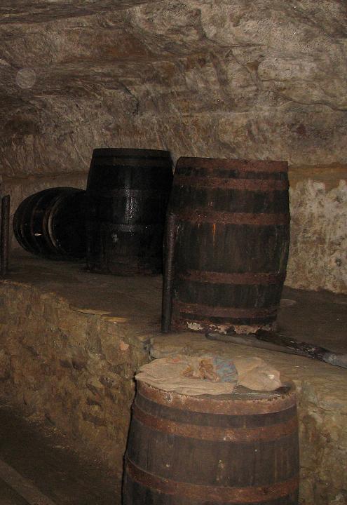
In 1925 the sand mines were briefly closed when <censored>, the owner, was indited in a prohibition smuggling scheme. After a year-long investigation, the FBI and Minneapolis Police raided the company headquarters and arrested many of the principal stockholders. (ST. Paul police of the period were corrupt and accepting bribes from the organization). The prohibition agents discovered a number of hand-dug smuggling tunnels leading from the <cnesored> into the sandstone mines, as well as large storage caves hidden from the normal workings. These secret chambers contained illicit beer and liquor casks, and were reported to have a printing press for counterfitting as well as a stash of weapons and fake passports. Agents estimated that $70,000 worth of liqour was confiscated in the raid, but the guns and printing press were never found. Today these smuggling tunnels are largely sealed off from the original and current quarry, although there are a few hidden and secret interconnections. The smuggling tunnels are much more extensive than you would expect from looking at the site, some running several miles to connect to former houses and businesses in the <censored> neighborhoods.
Today the property is owned by <censored>, a mining corporation based
out of Denver. The company still operates a few of the larger tunnels and
galleries, removing sand for local buyers like railroads and MNDOT repair
yards. The company also dug a number of open-pit sand mines in the area
during the 1950s and 60s, but residential subdivisions and light industrial
development in the area has taken over much of the former farmland and
halted open-pit mining. While the property is only occasionally worked,
the active tunnels are patrolled by security who drive trucks through the
tunnels on a regular basis. In addition, the entrances are hidden behind
a fenced compound and inside generic-looking warehouses, which prevent
most people from even noticing their existence. Entrance is still possible
through the drains and a few former TCRT tunnels, namely the now-sealed
"Colt 45" and "Grain Belt" tunnels and the former smuggling tunnel known
as the "Guillible Cave" (found by Jim Hollison and Action Squad in the
late 90s). The names of some entrances have been changed or intentionally
made misleading so as not to arouse interest among non-explorers or vandals.
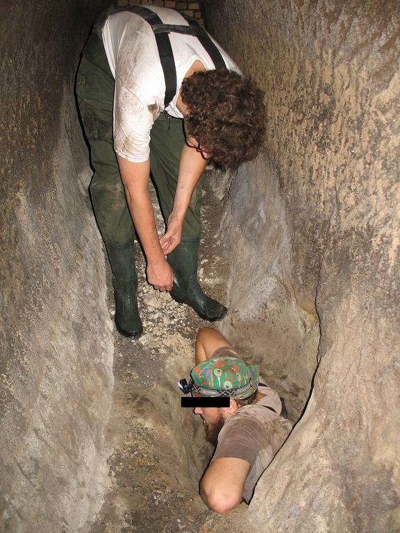
A few of my photos from the Quarry are shown here. I have removed all images that show entrance locations, sensitive connections, and building names, as well as a lot of pictures from the active portions of the Quarry mines that could piss off security if shown in public. I could display these the way Action Squad did with a certain place, since each section is definitely extensive enough to warrant it's own web page, but I'm too lazy. I also don't want to give away any of the interconnections between active mines, abandoned caves, active sewer, TCRT, utility tunnels, and smuggling tunnels. (note, these are photos from a number of different years and different cameras).
A generalized map of the active tunnels, and a historical photo of
1920's era mining:

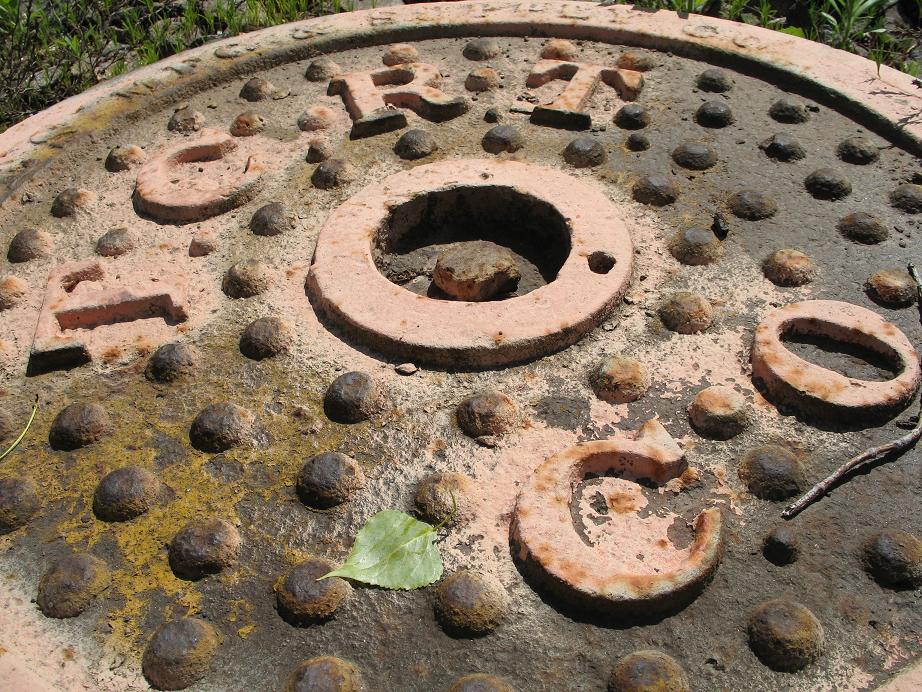
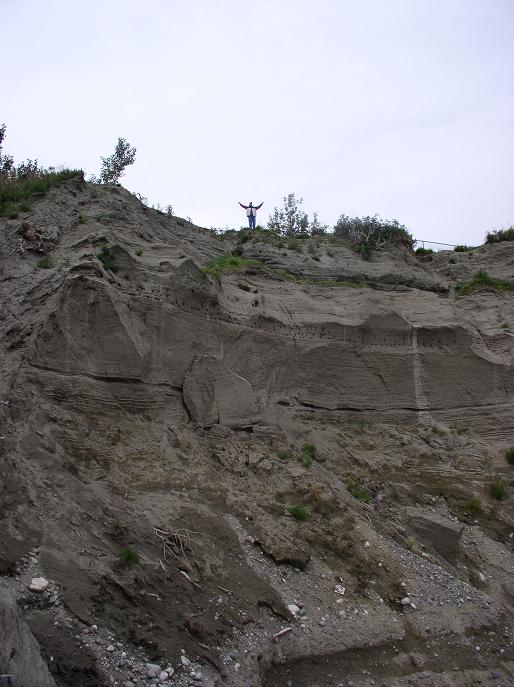
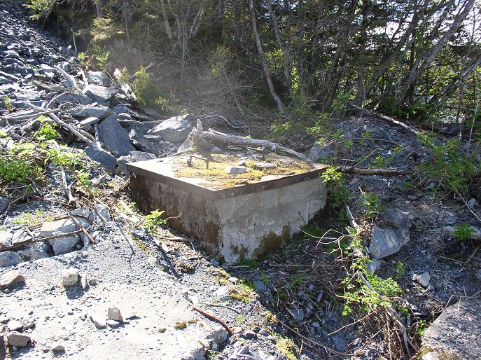
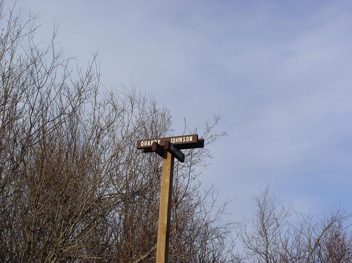
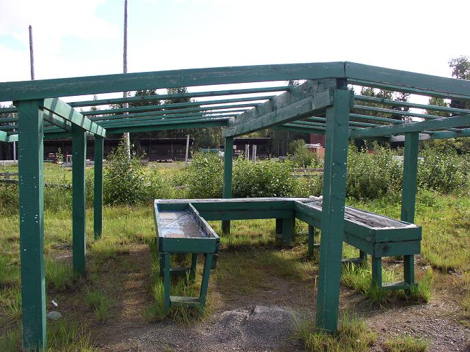
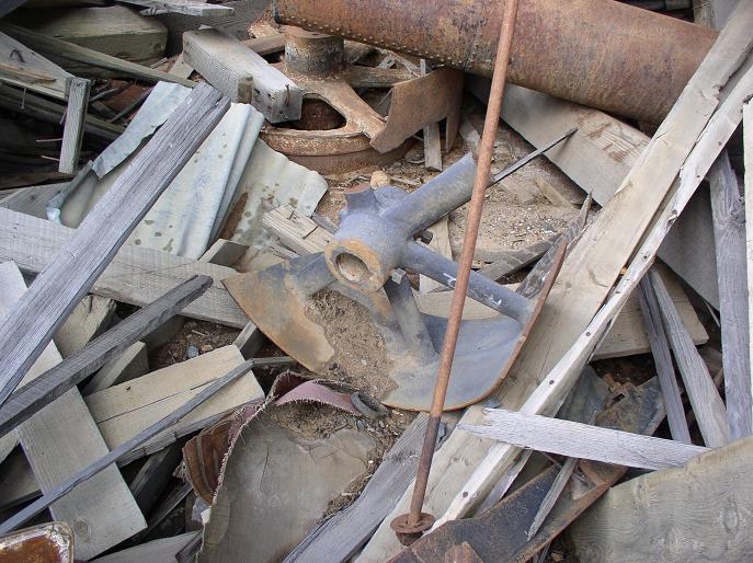
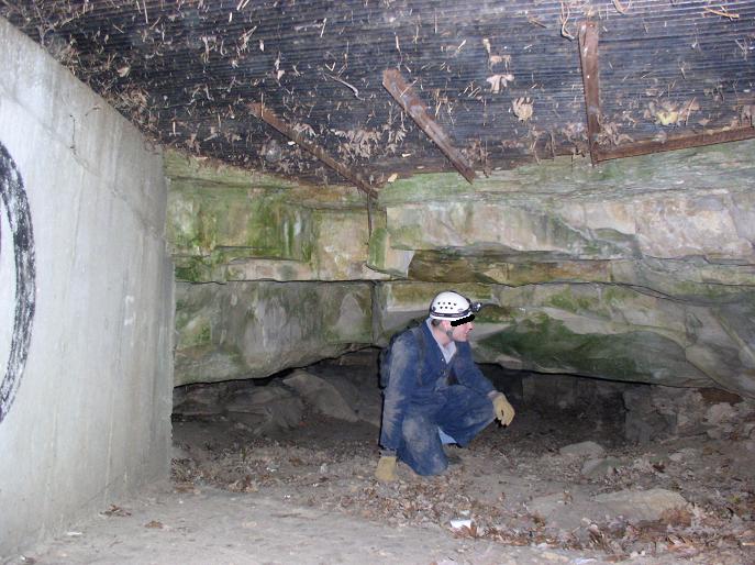
Surface stuff:
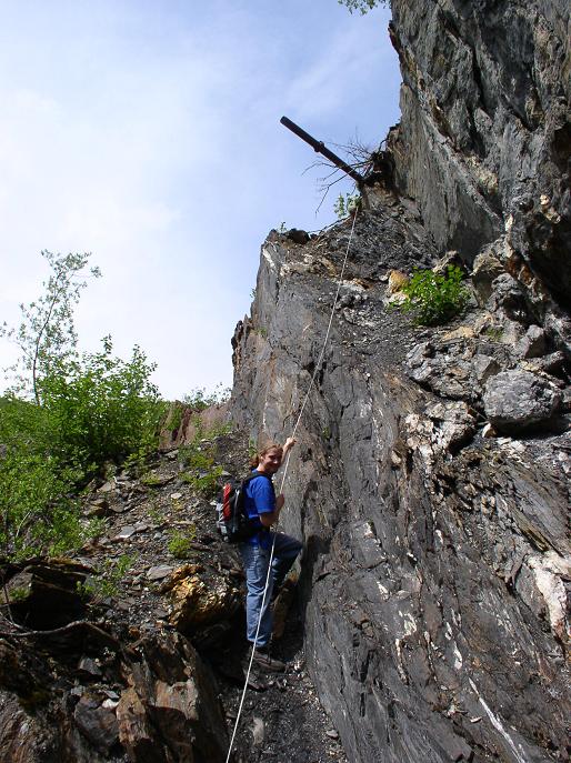
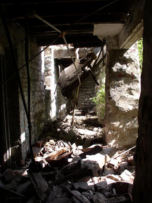
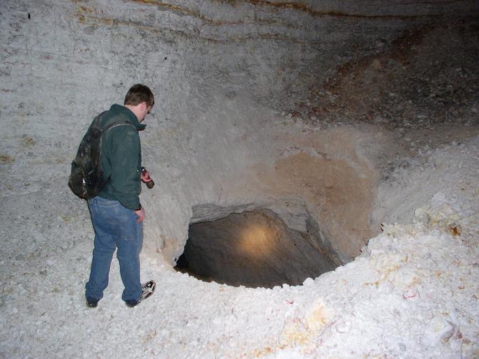
The open pit sections and some entrances that are hard to find:
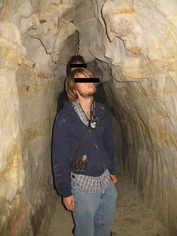
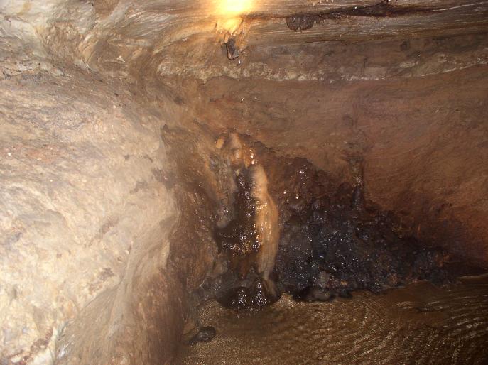
The smuggling tunnels:
Hand-dug sandstone prohibition tunnels and cellars, and some abandoned
houses at the ends:


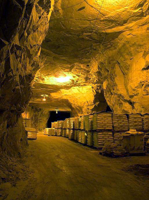
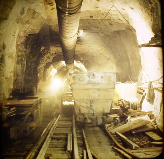
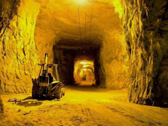
The Sand Mines:
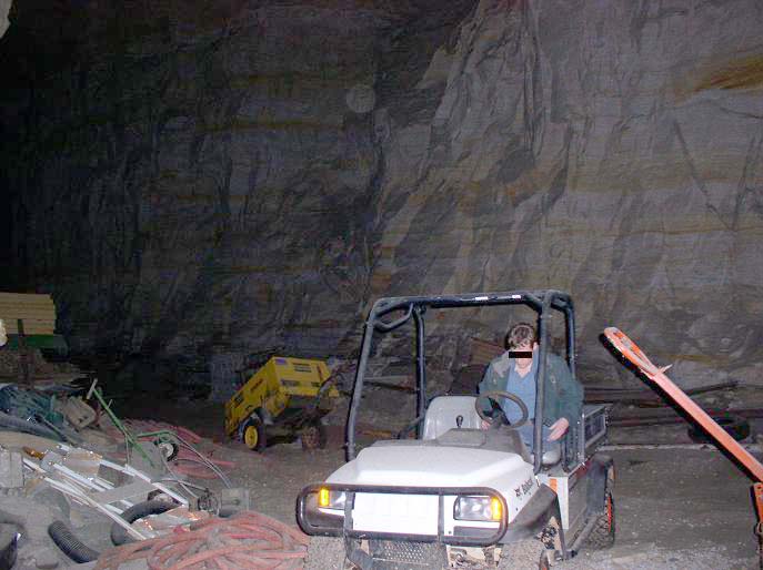
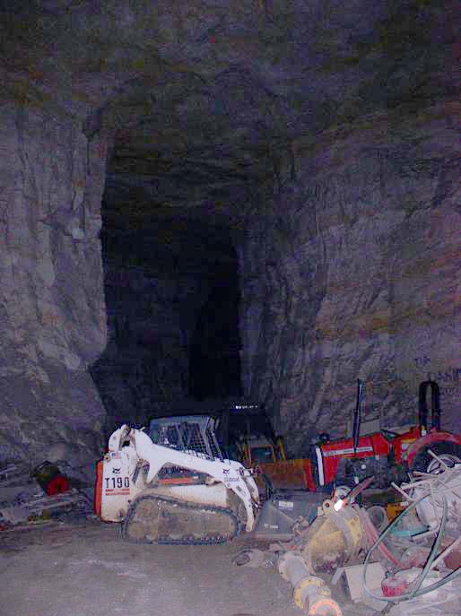
Active mining areas (sensitive photos removed):
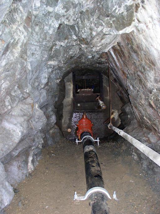

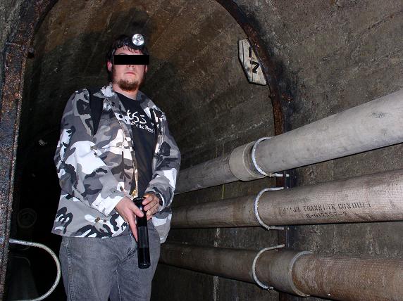
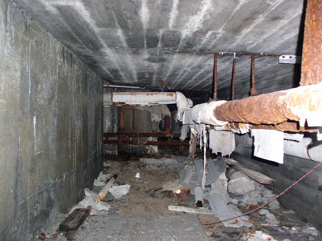
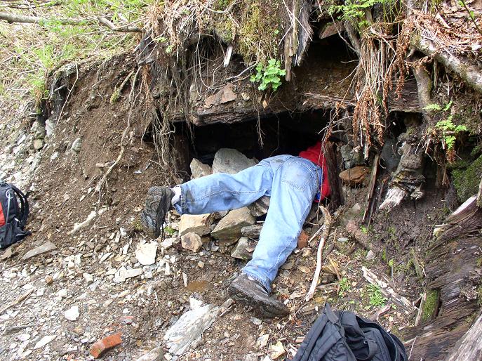
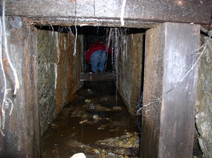
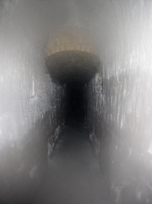
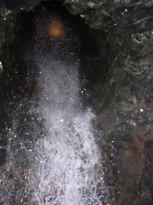
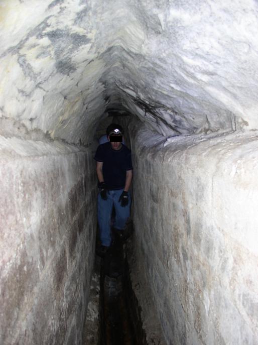
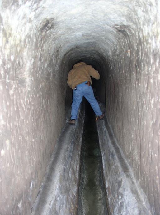
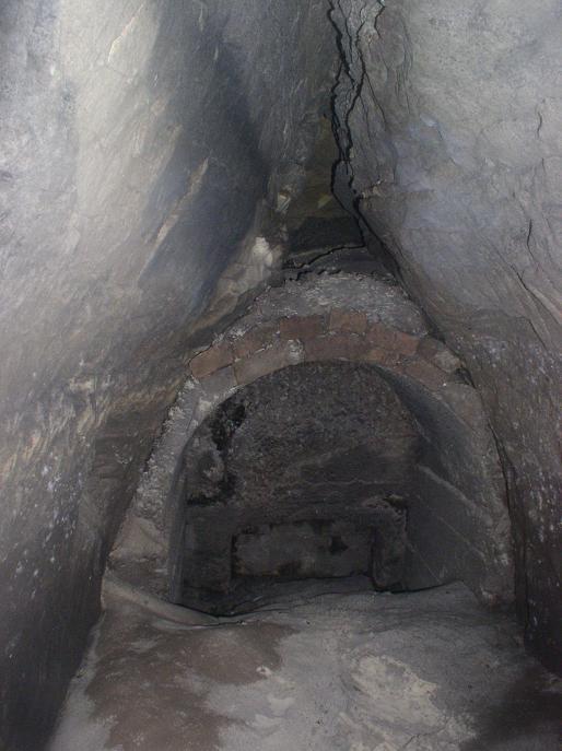
Drains and Sewers:
Sandstone drainage tunnels (varrying ages) under The Quarry:

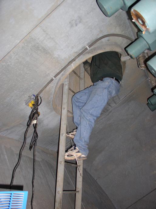
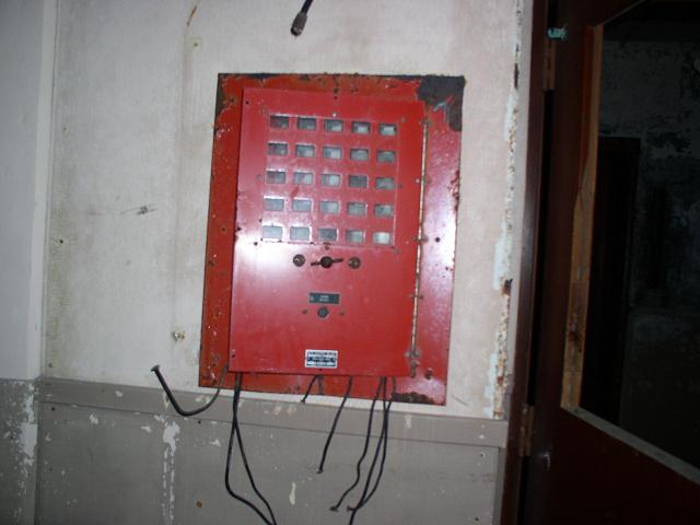
TCRT/Utility:
Refurbished TCRT tunnels and quarry utility tunnels(sensitive pics
removed):