Maps of the tunnel system
I used to not distribute these maps online, but now that I've graduated, I'm not too worried about the U getting pissy. Besides, they've been floating around the local DC hubs and filesharing jungles for a while, so pretty much everyone and their mom has a copy by now. If you still can't get in after viewing this, email me for some hints (freak20 [at] email.com).
NEW! 3-D renderings of the UAF tunnels :
In Sketchup Format (free download
here)
In AutoCAD Format
The big freakin' map of UAF's tunnel system as-explored.

Another version of the official map, missing some bits as usual:

The old crap:
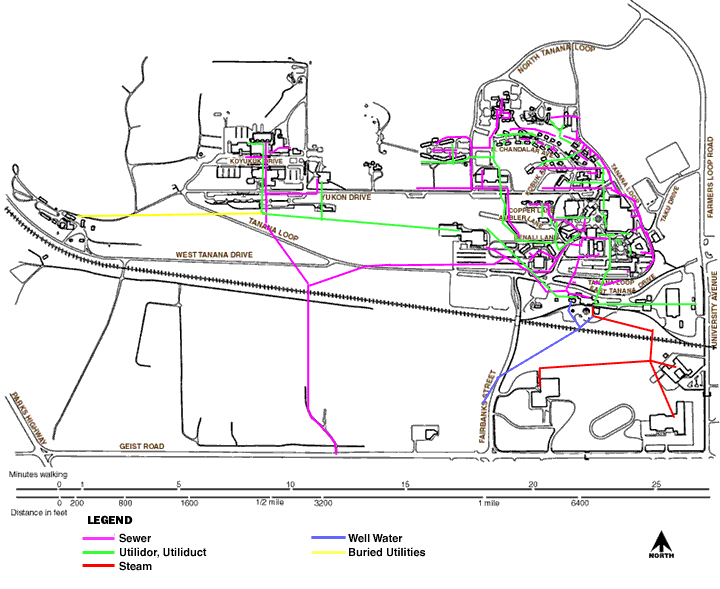
Map of Utilities from UAF webpage:

This one contains innacuracies and is almost useless for exploration.
The green lines show tunnels ("utilidors") and the red lines are (I
think) just buried steam lines.
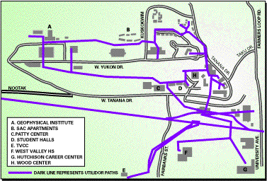
Map from Newspaper website:

Shows the Alaska railroad as being a tunnel, and leaves out several
tunnels and buildings.
Most likely this was drawn by an escaped lab monkey on LSD.
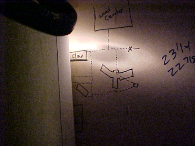
A map we found drawn on the wall, showing some of the tunnels:

This was in Wickersham hall, the Y shaped building in the middle.
A picture of a map that I'd like to have:
I wish this was easier to read in the picture!