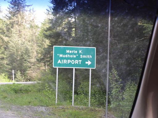
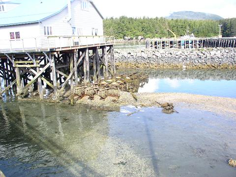
Cordova, Alaska
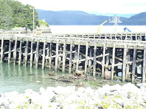
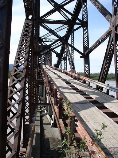
A small fishing town in Prince William Sound, Cordova was once a busy cargo and passenger port for the Copper River and Northwestern Railway. This railroad was built and operated from 1910 to 1938 serving the Kennecot copper mine 200 miles north. The railroad was an impressive engineering feat, since it had to contend with all types of Alaskan terrain, a large and dangerous river, and several glaciers which threatened the route and bridges. The railroad was only expected to operate for 10 years, or until the copper deposits were depleted, so many temporary wooden bridges were built and rebuilt every year as the ice and floods destroyed them. In some cases track was layed directly across frozen lakes after ice destroyed bridges. The most famous bridge across the copper river cost exactly $1,000,000 to build in 1910, and was named accordingly. The railroad lasted untill 1938 when the copper finally ran out, and was used for a few years by hunters and prospectors who built their own "speeder" trolleys to run on the main line. In the 1950s the remaining sections of track near Cordova were used by the military to build an airport and begin highway construction across the flats east of town, but once the million dollar Bridge was damaged in the 1964 earthquake the highway project was stopped. No rail cars or engines remain in Cordova, aside from a few speeders and spare parts, but there are two other abandoned railways in nearby Katalla, a coal mining town.

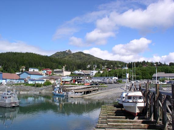
Believe it or not, there ARE places more rural than this...
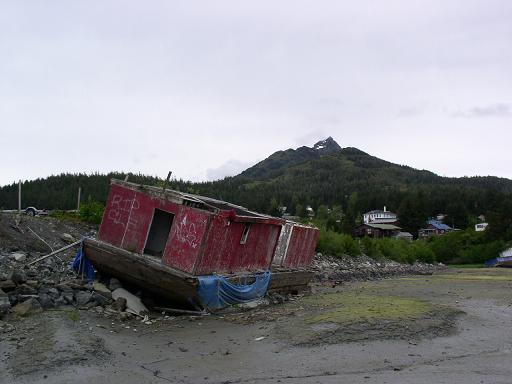
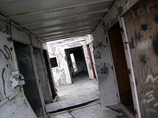
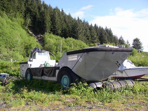
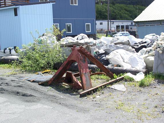
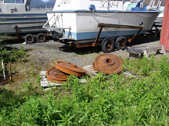
Assorted wrecks in Cordova's harbor, the last two are boats that have
decayed down to engines and structural beams.

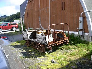
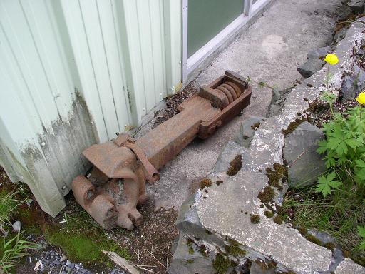
Railway leftovers in and around town, the middle photo shows a rusty
"speeder" car made from an old handcart.
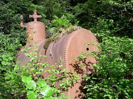
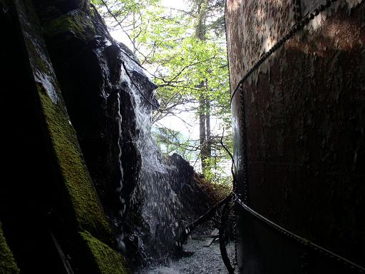
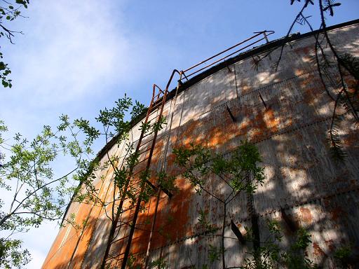
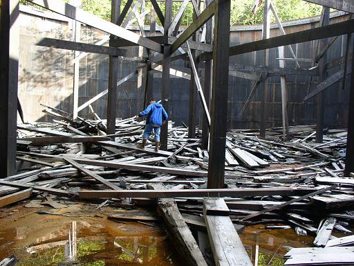
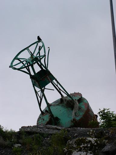
A boiler and an old steel fuel tank above the docks, the roof was made
of wood but has collapsesd
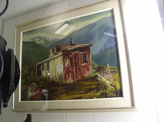
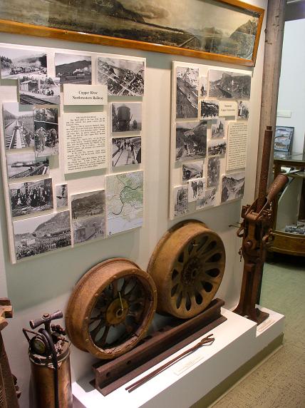
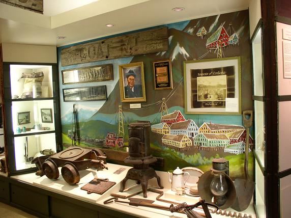
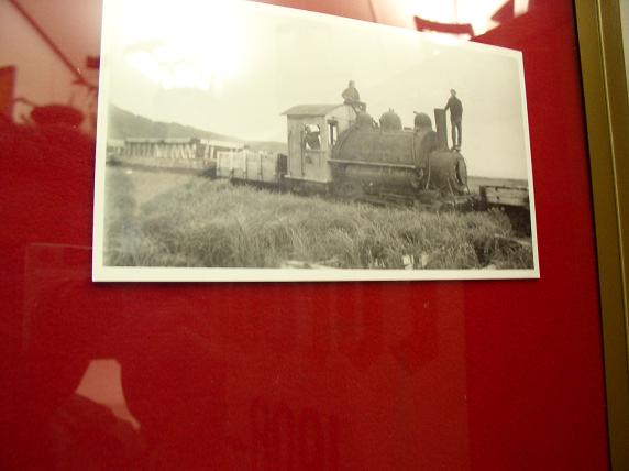
Some displays in the museum, I wish I could find that caboose!
. 
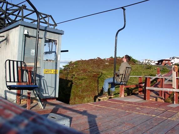
Cordova has it's own ski area, which includes an unlocked control shack
at the top. I'm surprised the local kids haven't stolen the radio and first
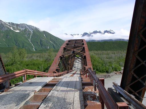
aid kit. The long, straight road in the center of the 3rd photo is the
Copper River highway, which follows the old railroad grade for about 50
miles to the Million Dollar Bridge (it's not straight the whole way, it
curves north along the river).
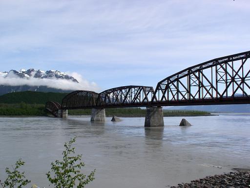
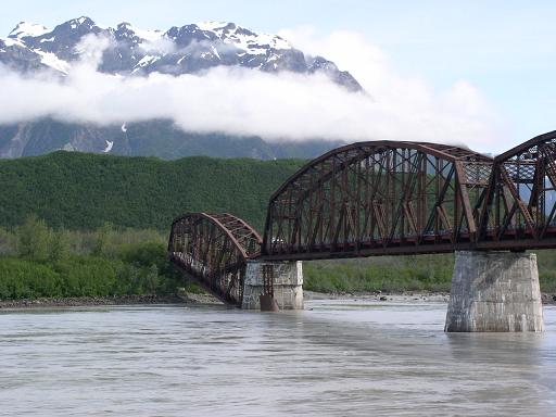
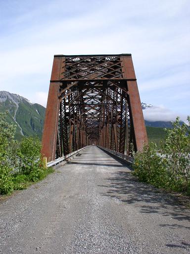
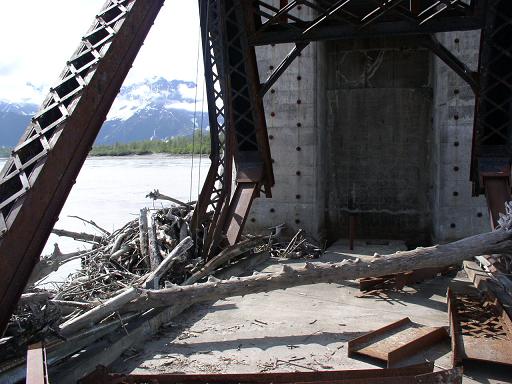
The $1M Bridge, the 4th span collapsed in 1964 and was fitted with
a ramp so vehicles could still pass. There's not much point since the road
only goes another 10 miles and deadends at the river where another railroad
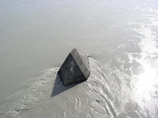
bridge washed out. The bridge has concrete "icebreakers" in front of it's
piers to prevent icebergs from the nearby glacier from knocking it down.
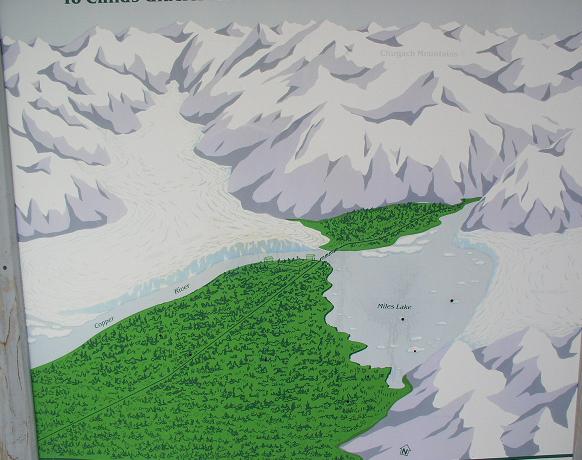
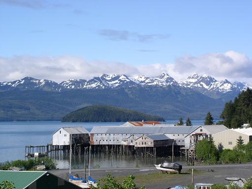
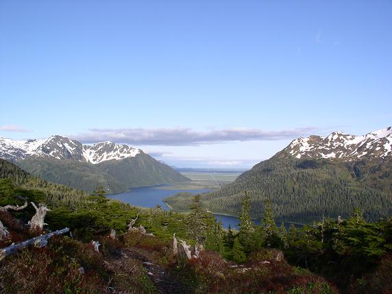
A picture showing the bridge (near center) and the two glaciers near
it. The river flows from right(east) to left, out of Miles lake and past
Childs Glacier.
Dyslexic's welcome!
An old train left at Katalla, originally the CRNWRR was supposed to
start there, but only got a few miles before weather and disputes with
a rival coal railroad forced them to move to Cordova. This picture was
from 1985.
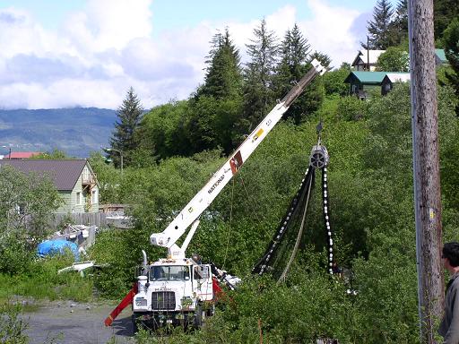
This photo shows a little known technique for harvesting Cordova's
annual red squirrel run, which is a huge rodent migration unique to this
area. These Alaskan Tree Rats, (or "Premium McDonald's patties" as they
are marketed in the lower 48) can bring upwards of $0.25/lb for the land-fishermen
brave enough to risk his crew and vehicle to their sharp teeth and voracious
appetite for human flesh.
Links to more info: