The Ebner Adit and the entrance to the AJ mill tunnel
<>
 <>
<>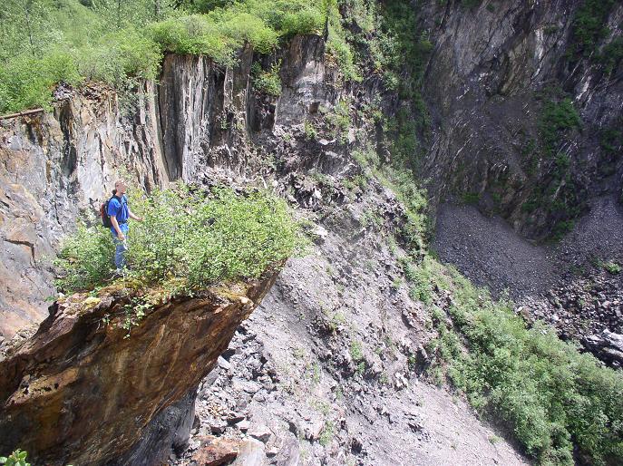
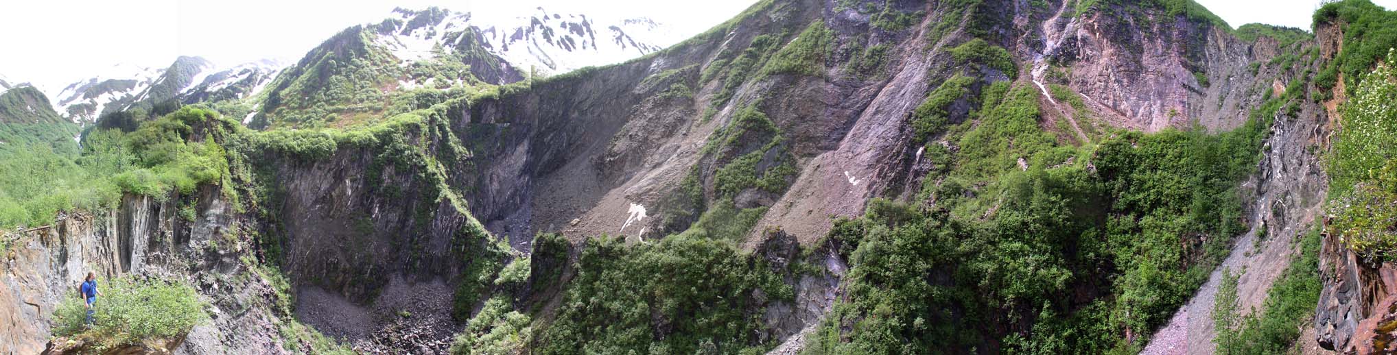
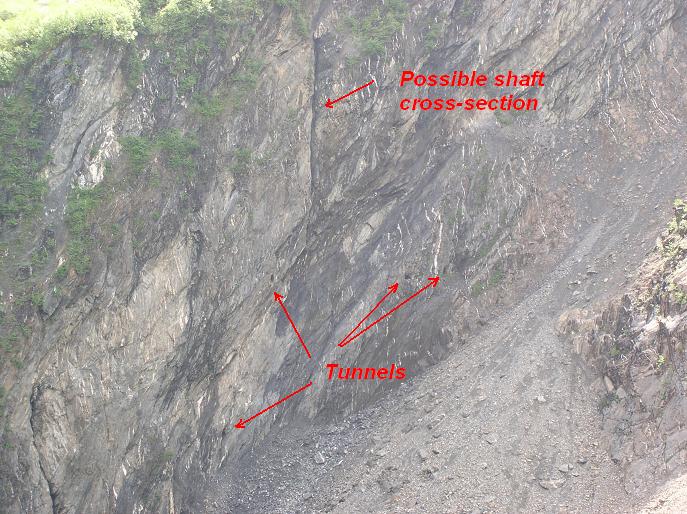
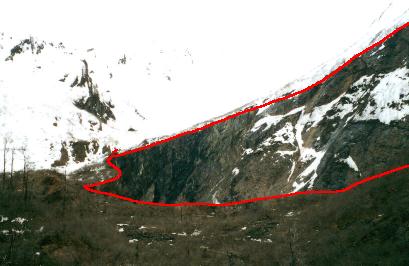
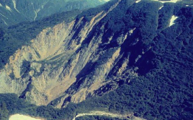
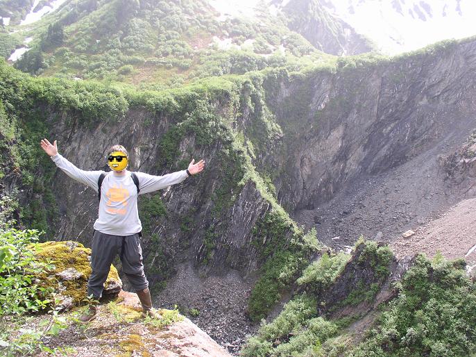
The Glory Hole, caused by collapsing tunnels and stopes (large underground cavities where ore has been removed)
The second picture is an aerial photo of the glory hole from some government study I found. (Yes, it's really called the Glory Hole, if you came here looking for porn then too bad).
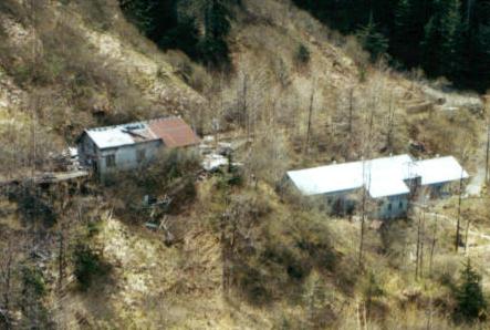
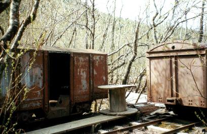
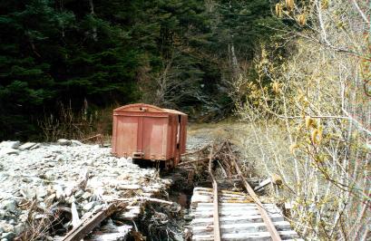
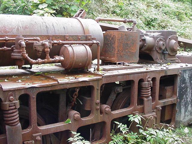
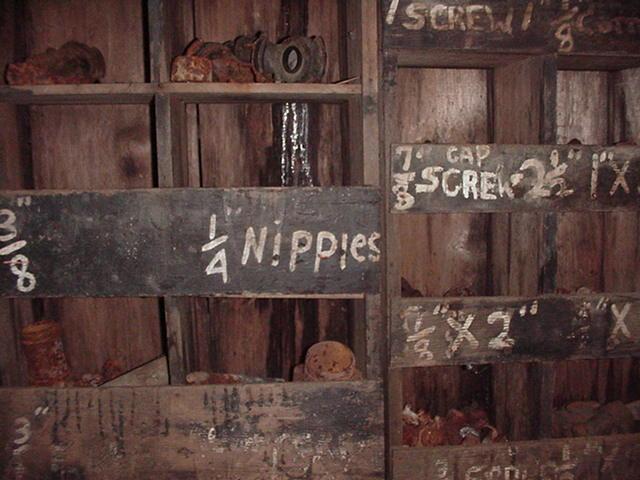
Various buildings and relics in Last Chance Basin, behind Juneau. The
white building is a mining museum.
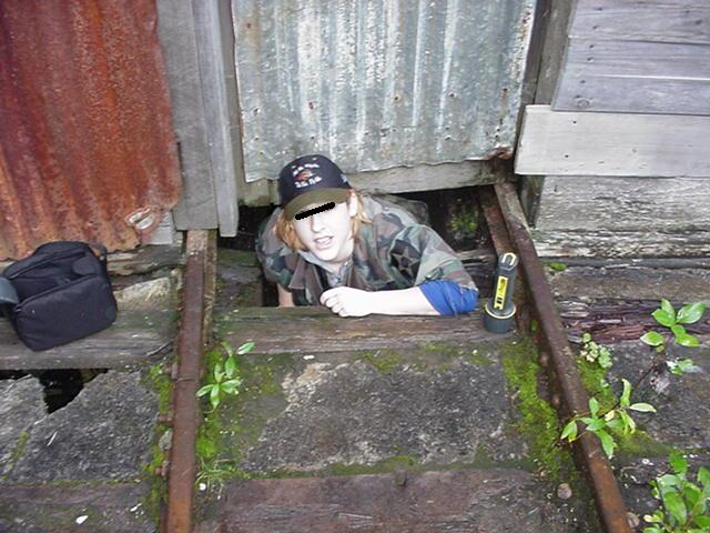
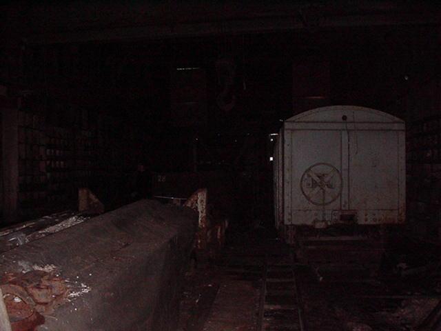
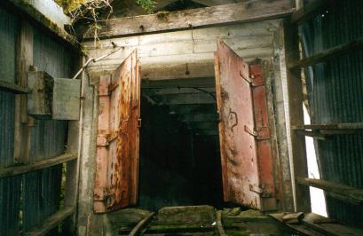
Inside the Car Repair Shop. Entrance is gained by crawling under the
door and through an inspection trench.
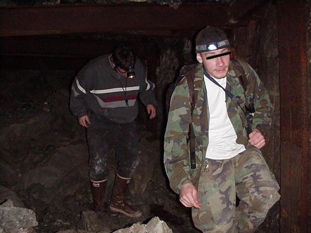
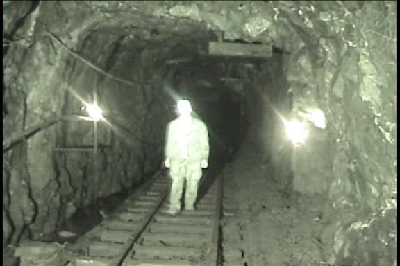
Inside the Gold Creek Tunnel. The first section is flooded and hard
to walk through without waterproof boots.
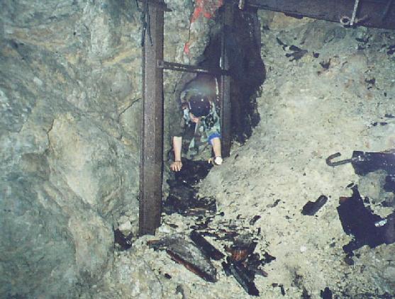
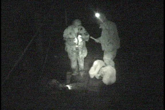
Farther back there are several collapsed areas which necessitate
crawling
through tiny holes (fighting against
the blast of wind coming out from under the mountain). After several
of these it gets too dangerous to proceed
without ropes and climbing gear (and this is before even reaching the
multilevel maze-like sections of the main tunnels).
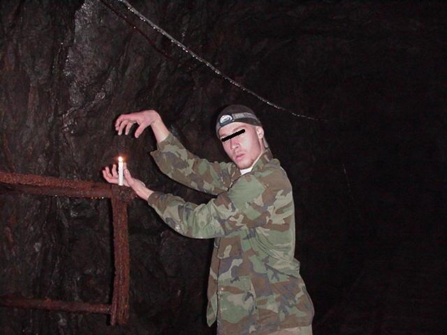
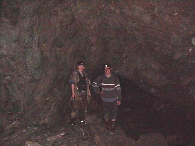
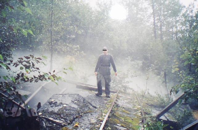
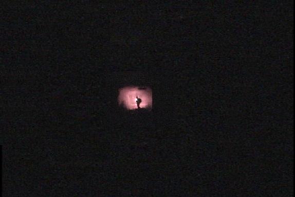
We got about 1200 feet back from the entrance and gave up, leaving
a note for future explorers and taking some pictures
and video on the way out (note: billowing smoke pouring out of a hole
in the mountain after lighting flares draws too much attention!)
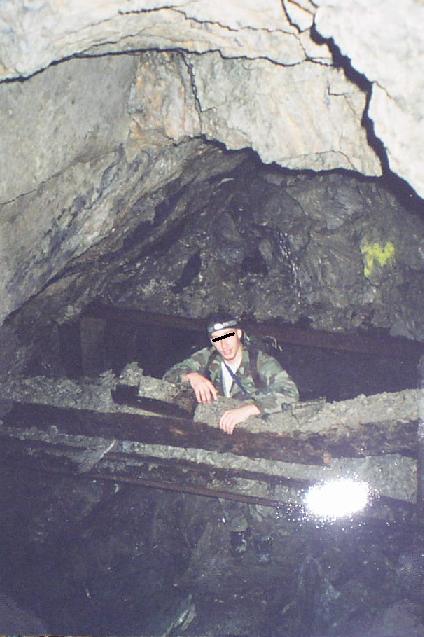
There are two side tunnels close to the entrance, one with a steel
door which leads to another adit (entrance) close to the
one we used, but this one is collapsed. The other side tunnel is
smaller
and goes to a flume or waterway of some sort which may
be collapsed. It may or may not emerge on a cliff on the other side
of snowslide gulch. There are probably also shafts
connecting to the Gold Creek Drainage Tunnel which runs parallel under
the Gold Creek Tunnel, but we didn't see any.
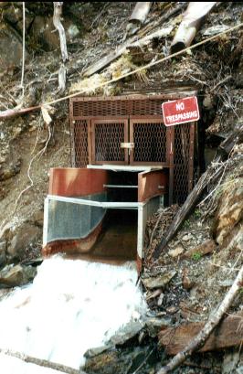

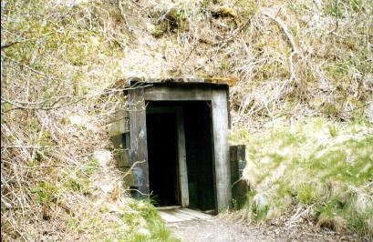
The first picture is the lower end of the Gold Creek Drainage Tunnel
which diverts water from the lower mine levels into Juneau's water
supply.
(Mmmm good!)
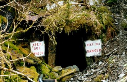
The second is either the upper end of this tunnel or a separate tunnel
for the Placer Pit (an open pit mine area).
I love environmental impact statements, they include all kinds of juicy
info like: "Site map of water discharge tunnels" and "schematics of
underground
workings" to name just a few...
MAPS:
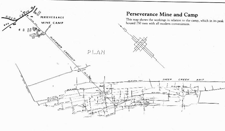
A map showing most of the original AJ tunnels